








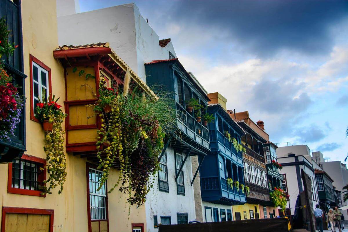
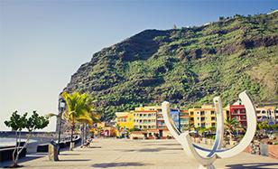
A key place in the conquest, with a beach and a rich historical heritage
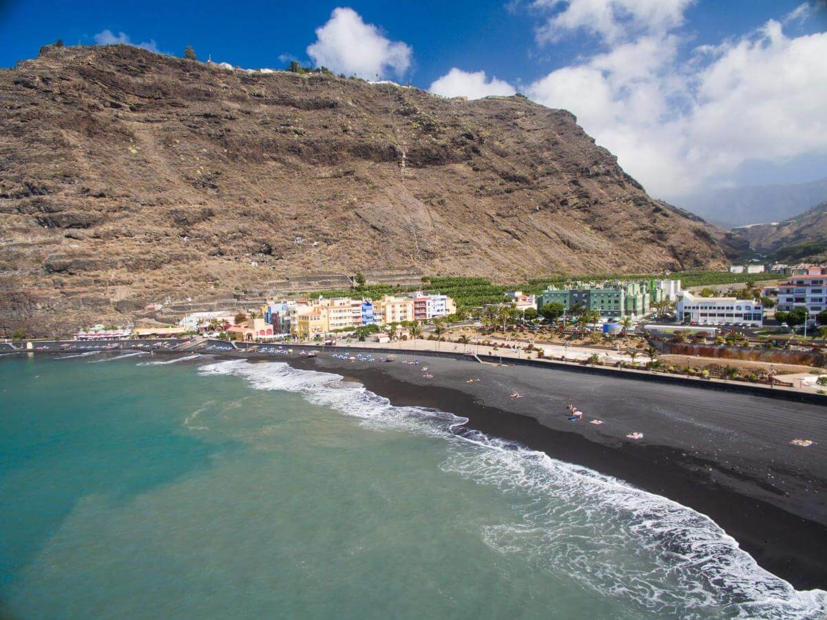
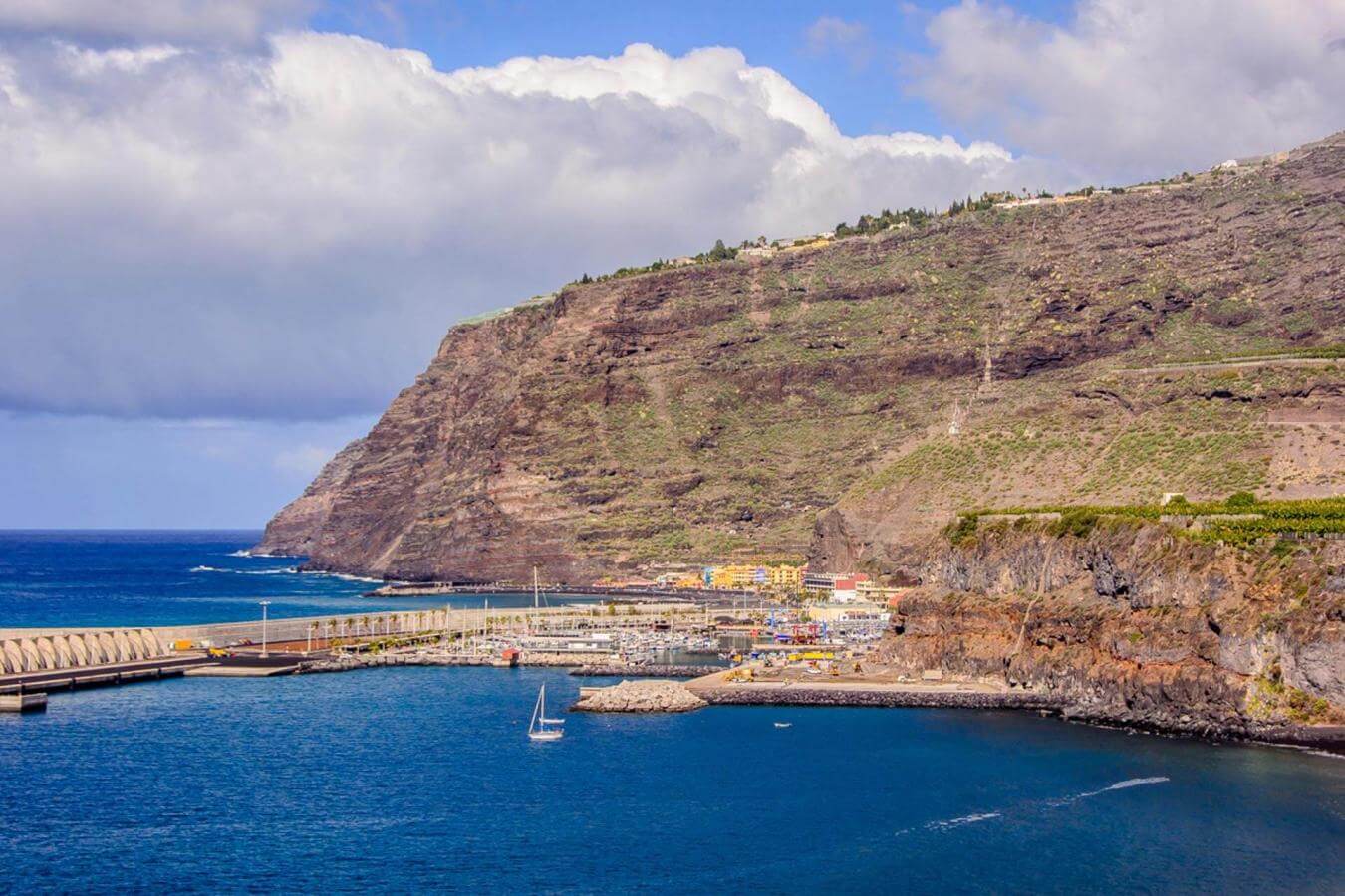
This excursion begins at the place where the Castilian conquest of La Palma started in the 15th century. The port of Tazacorte, in the west of the island and the culmination of the impressive basin that descends from the Caldera de Taburiente, has been extremely relevant in historical terms and is the perfect place in which to begin or end any route. In this case, since we are starting our route, the restaurants and bars on the charming beach of black sand and in the adjoining square and the fishing harbour and marina are perfect for having breakfast to set us up for the climb to the centre and the descent to the capital which showcase many of the beautiful contrasts of La Palma.
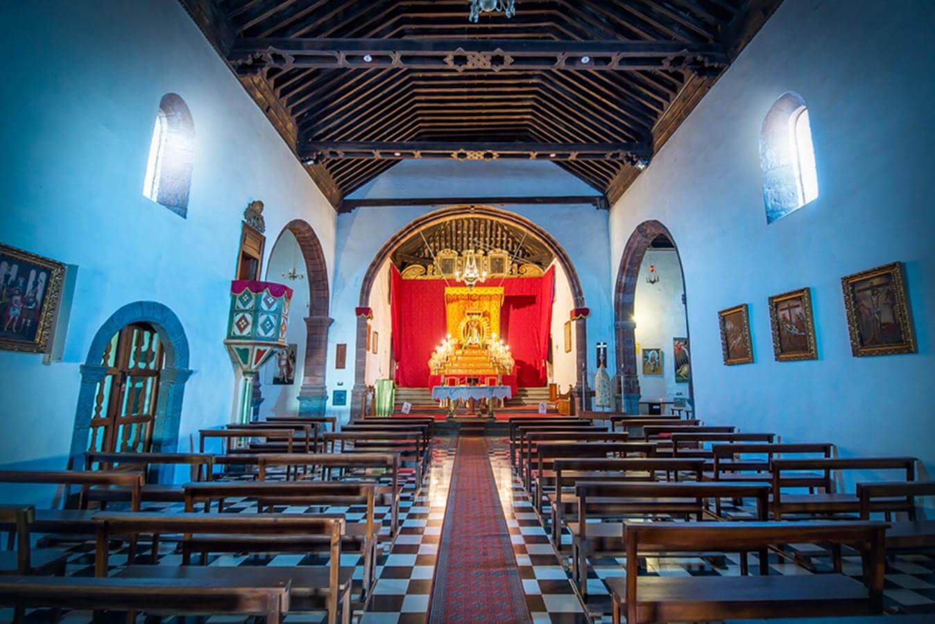
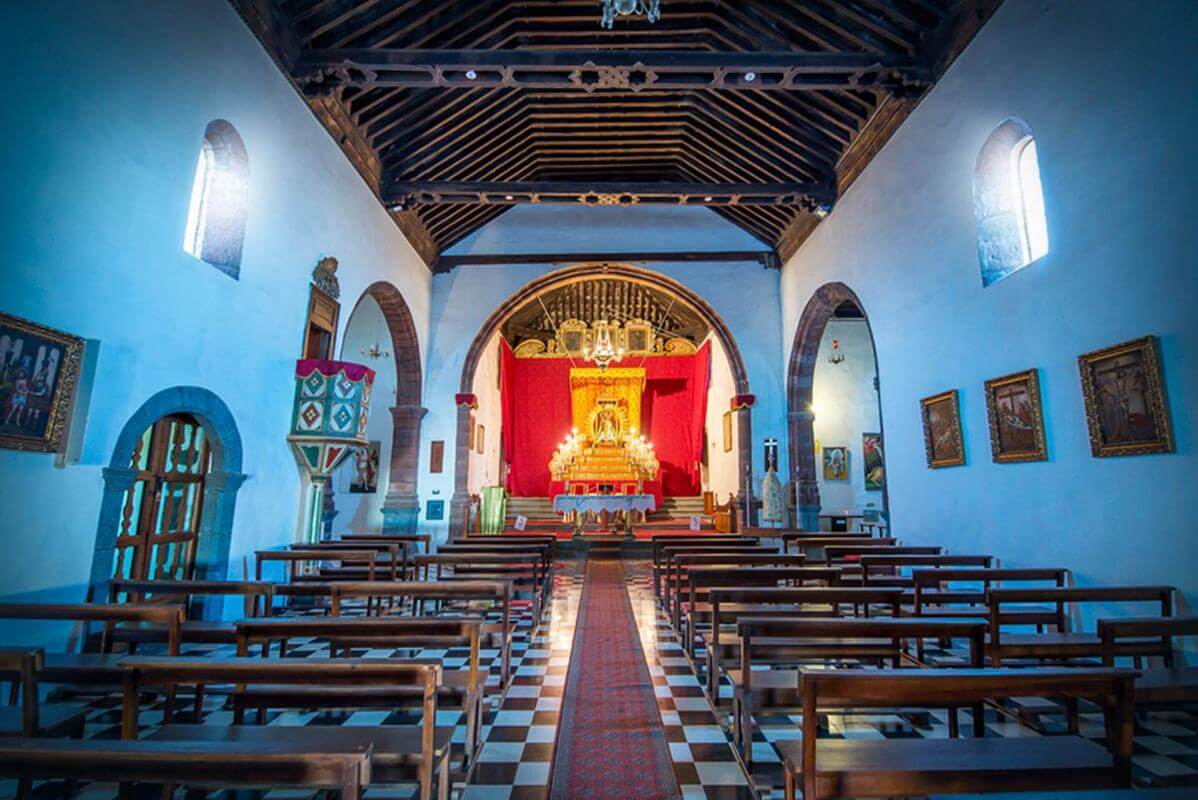
In just a few minutes, from the harbour we come to the town of Tazacorte itself, on a road that turns off to the right with an abundance of banana plants, a crop that is commonly found in the west of the island. The central area also has a wide range of bars, if you haven’t had breakfast yet. Next to the town hall is the striking fountain of San Miguel Arcángel, with an imposing sculpture that has become a symbol of the municipality. Although it may seem a little early to stop here, it is more than justified due to the local heritage assets, such as the church of San Miguel Arcángel, the first one erected by the conquistadors. Another eye-catching feature is the inviting pergola in square of Plaza de España, perfect for a rest or strolling in the shade beside the Sevillian mosaics. The squares of Doctor Morales (Plaza de Doctor Morales) Los Pajeros (Plaza de Los Pajeros) or Gómez Felipe (Plaza de Gómez Felipe) and streets like Calle La Cruz provide more strong reasons to switch off your car engine here.
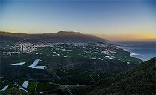
An essential stop in a town with a numerous assets and an old-time flavour
The first village on this route after the centre of Tazacorte is Argual, where you take the road on the left. This road has a stretch of repetitive tight bends, passing through the ravine of barranco Tenisca, and continues along a section that is winding but easy to drive on, in the direction of Tijarafe. Before the second recommended stop, we pass through La Punta, constantly accompanied by pleasant views of the green banana plants which are nearly everywhere, and the infinite blue ocean. The road becomes a little more manageable until reaching El Jesús and the ridge of the barranco del Jurado ravine, where one can already catch a glimpse of the charming village of Tijarafe, the only municipality on the island to conserve its indigenous name.
Also a town with obviously agricultural roots, Tijarafe offers tourists the parish church of Nuestra Señora de Candelaria, created in 1530 and around which the village grew up over the centuries. By way of a peculiarity, this is the only island church with a bell tower accessed via steps on the outside. It was declared an Asset of Cultural Interest (BIC) in 1996. Perhaps the most notable of the village streets is that of calle Adiós, a name that cannot be faulted since it leads to the old cemetery.
Also outstanding is the ethnographical museum, and what is known as the Garden of los Versadores, a tribute to the residents of La Palma who emigrated to Cuba in the 1940s in search of a better life and who, in many cases, brought back to the island punto cubano, a form of singing that is a veritable jewel of improvisation. The large El Barranquito house and the chapel of Buen Jesús (1530, declared a BIC) and other tiled buildings made of stone and mortar only increase one’s desire to stay a little longer.
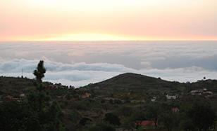
A very well-preserved village, famous the world over for its almendrados
The road continues with some bends, but then straightens on many sections, until reaching the village of Puntagorda, our next recommended spot and the geological point where the island emerges. It does so by ascending, and affords some striking views of the north-west coast. The agriculture here is still irrigated, but rainfed crops are increasingly seen, such as vines, wheat and above all almond trees. Almonds have made Puntagorda famous for its delicious sweet almendrados, renowned the world over, especially in the 1940s and ‘50s. A more than solid reason for diverting your course from the main road and driving down to this village when you reach the signposted connecting roads.
Before this turn-off, and after going down and up five ravine basins of different depths, you will pass through villages like Tinizara and Fagundo. And there is also the option of visiting other adjoining villages, such as El Roque and Pino de la Virgen, which takes its name from a venerated pine tree related to the image of the virgin. In an eminently rural setting, offering a wide range of tourism options in keeping with the surroundings, Puntagorda (at an altitude of 600 metres) unfurls downhill and in numerous streets separated by ample cultivated plots of land, almost as though the street map were the roots of an enormous tree. This is one of the best-conserved villages on the island. Apart from the numerous scattered houses made of stone and wood with tiled roofs, one pre-eminent feature of the village’s heritage is the pretty church of San Mauro Abad and its parish, declared an Asset of Cultural Interest.
As a tribute to their omnipresence, in February or early March the almond blossom festival is held, quite a spectacle and one worth seeing if your holiday coincides with these dates. Also worth visiting, and photographing, is the clock of the four seasons opposite the town hall. Although in Puntagorda, time itself seems to stand still, and not just the visitor’s car.
A place of international prestige where the sky appears closer
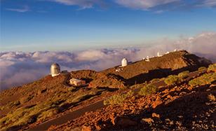
After joining the main road again from Puntagorda, our vehicle will now travel over a long section of road with seemingly cloned bends. The climb to the centre of the island from the northern side is pleasant, because of the pure air we can increasingly breathe, the green of the flourishing pine forest, the areas that still have high-altitude agriculture and the clearings, which afford some views of the north. In half an hour, depending on the speed at which we ascend - although we recommend you drive carefully when you are unfamiliar with such a winding road - you will come to a crossroads leading either to the centre of the island or descending to the north. The route indicates that we should take the right-hand road towards Roque de Los Muchachos and the famous astrophysical observatory of the same name.
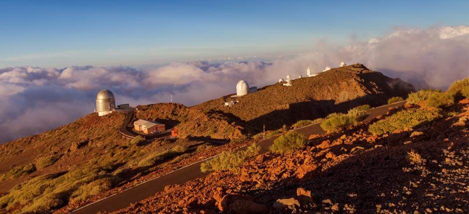
The road to the next recommended stop is just as winding, with continuous bends which are, however, clearly compensated for by an increasingly dense pine forest. Just before reaching the observatory, the pine trees thin out, opening up to a wide clearing where we can pick out some white installations, by now legendary for scientists and observation of the universe. The Roque de los Muchachos observatory (standing at 2,396 metres above sea level) is one of the most prestigious in the world due to the clear skies it scans at night. Without a doubt, this place is worth a longer stop, whether or not you are well-versed in the latest theories on galaxies, stars, the big bang or creationism. Just learning a little about how these impressive telescopes work is almost enough to justify your stay on the island.
A grand geological spectacle that unfurls towards the Atlantic Ocean
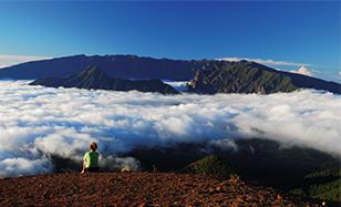
The astrophysical observatory is located on one of the edges of Caldera de Taburiente, an authentic geological spectacle that simulates an enormous insular heart and which, from its huge dimensions in the centre of La Palma, comes to rest in the sea on the western side, right beside the port of Tazacorte, with a narrowing basin.
Looking towards the Atlantic, behind lies a magnificent collection of ravines that converge into the main gorge, green areas, infinite telluric shapes, colours, varied fauna, a sea of clouds, silence and peace, so much peace. A spectacle that this route reveals in all its splendour, from the highest part down - another more than sufficient reason to start your car in the morning. Nowadays digital cameras make it easier for those who cannot resist the temptation to snap everything, although before, in the age of rolls of film, waiting for the numerous pictures to be developed was also comforting.
The road extends the spectacle to a few metres from the precipice of La Caldera. The previous endless curves are reduced considerably by now, and in this way we come very close to Las Nieves Natural Park, where the pine forest once again becomes predominant.

The perfect place for regaining strength after an intense day
The way down to the capital - the end of our proposed route - passes through a thick pine forest which barely allows one to see the horizon, at least for a long stretch at the beginning. The dense green, ideal for a short stop if one wishes to rest, see the photos of La Caldera again and breathe clean air once more, gradually yields to more open patches of land which increasingly reveal the Atlantic and Santa Cruz de La Palma. Of course, it is the island’s fate that the trip should once again be marked by the characteristic bends.
Before reaching the capital, we pass through villages like Los Álamos, easily recognisable for its two football fields. From here, heading to the left, the town and its close connection to the sea - due above all to the port - are revealed in full. A connection that is felt in the maritime avenue and the sights like the naval museum, which emulates one of the ships Columbus used to reach what would later be known as America.
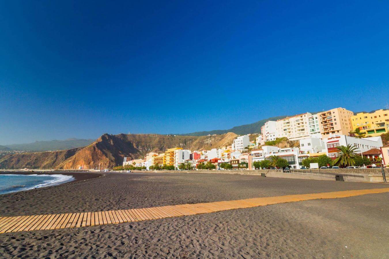
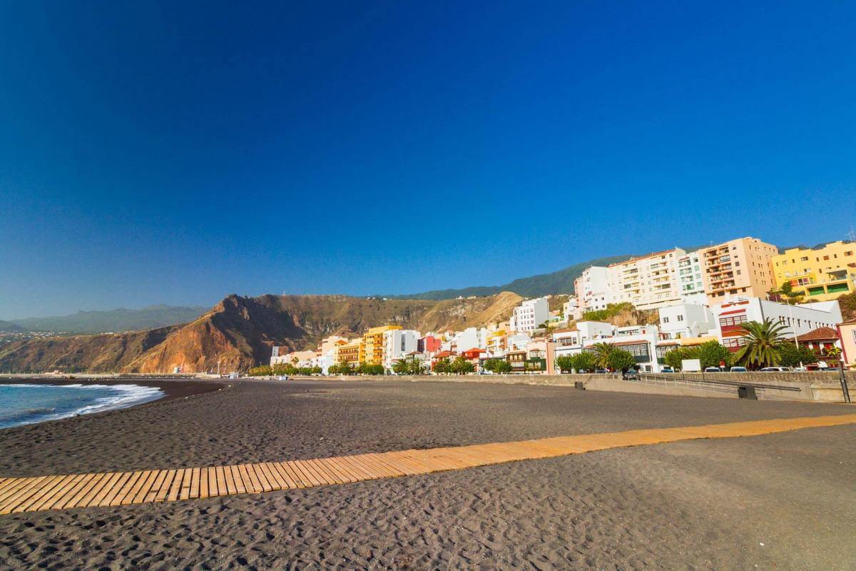
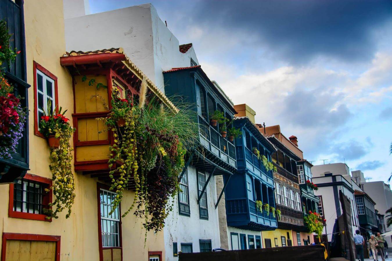
The capital is the perfect place to arrive in for a drink or something to eat in the cobbled streets, or indeed the other streets which are also dotted with buildings of great historical value. The Renaissance, Baroque and Neo-Classical style of a fair part of this town, with its striking church of El Salvador, is a delight for the eyes and rounds off an intense day of sea, villages with charm and heritage assets, a world-famous observatory, a caldera that leaves one near-speechless and a refreshing pine forest. Quite the excursion.
- Never leave waste of any type lying around, including cigarette butts. Leftover food leads to a proliferation of rats and wild cats, which pose a serious threat to the fauna.
- Use the waste- paper baskets and, insofar as possible, separate and place your recycling waste in the appropriate containers.
- Do not throw any waste or other objects into the sea.
- Respect the animals. Do not bother them or feed them. If you see an injured specimen, you can call the emergency number: 112. Do not pick flowers or plants.
- Do not pick up or take away stones or any other item from the natural environment. And do not move them to pile them up into sadly famous 'towers'.
- In natural spaces and at viewpoints, do not leave the trail or the spaces designated for people to be in.
- Respect and look after the area's historic and cultural heritage, along with the public furniture and items for visitors, such as information panels or telescopes and binoculars.
- Drive carefully and responsibly.


